Where is Tibet Located Geographically
Where is Tibet Located Geographically
Nestled amidst the grandeur of the Himalayas, Tibet is a region often wrapped in mystery, both geographically and spiritually. It’s a land rooted in high altitudes and profound traditions, home to a unique cross-section of nature’s marvels and human resiliency. But while its borders can be transcribed on maps, Tibet’s presence is far more ethereal — a place where the Earth seems to touch the sky, and where spiritual paths are as diverse as the topography itself.
Geographically speaking, Tibet sits to the north of the towering Himalayan range, lying on the vast Tibetan Plateau. This plateau, often referred to as “the Roof of the World,” spans roughly 2.5 million square kilometers, making it the world's highest and one of its most isolated regions. To its south, the snow-capped peaks of Nepal and Bhutan rise majestically, while to the north, it shares borders with China's mainland provinces. This elevated realm is a realm of extremes, where the air is thin, and the landscape harsh, yet starkly beautiful.
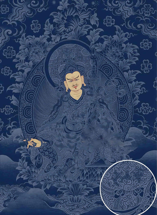
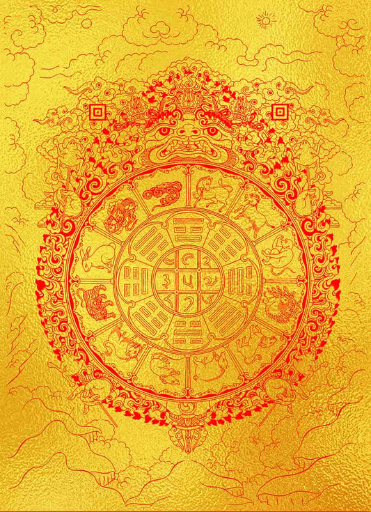
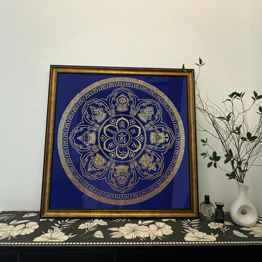
In many ways, the geography of Tibet is a physical embodiment of its spiritual and cultural life, especially reflected in the intricate art of thangkas. Thangkas are not merely paintings; they are woven with the landscape’s essence, as much a product of their environment as the artists who create them. The pigments used in thangkas are traditionally derived from the natural world — minerals that could very well have been chipped from Tibet's craggy hills or collected from its rarefied air. These pigments are a reflection of the region’s organic connection with artistry, binding the colors of the earth into purely spiritual expressions.
Every line and hue in a thangka is infused with meaning, where the geography plays a vital role in shaping these symbols. For instance, the lotus flower, often depicted in thangkas, thrives in muddy waters in valleys, symbolizing purity arising from the soil's mire — a stark contrast to the cleanliness of the high plateau. This symbolism serves as a bridge between the viewer’s internal journey and Tibet’s valleys and ravines.
Historically, Tibet’s geographic isolation played a role in its preservation of spiritual traditions and distinct cultural expressions that are still visible today. Thangka painting, a craft that demands enormous skill, has been passed down through generations, with masters often undertaking pilgrimages that mirror the arduous paths of the mountains themselves. It’s not uncommon for an aspiring student to spend years as an apprentice, meticulously mixing pigments and learning to breathe life into the deities depicted in these scrolls.
Understanding Tibet’s geographic position helps unravel its cultural tapestry, where the land and sky intertwine with human aspiration. While maps might locate it with precision, the true heart of Tibet lies in its ability to inspire awe and reverence, mirroring its landscapes in the intricate designs of thangkas and the spiritual depth they represent.
For those of us who might never step foot on the Tibetan Plateau, engaging with its thangka art offers a heartfelt glimpse into the beauty and profound spirituality that thrives amidst those mighty mountains. And in a way, perhaps that's what Tibet truly represents — a place not only defined by its geographic coordinates but by its capacity to invite us into a deeper journey, one that traverses the maps of our own hearts.